The Dan Report: 2026-27 Ski Season Outlook

The first in a new series, tracking the weather setting up our winter, region by region, all season long.
I’ve been skiing for over 45 years, and every one of those seasons started the same way, with me squinting at a NOAA outlook map trying to figure out if I should be excited or worried. This year I’m turning that habit into something useful for you. Welcome to the first Dan Report, my read on what the data says about the 2026-27 ski season, pulled straight from NOAA’s latest fall and winter outlooks.
I’m not a meteorologist. I’m an operator who has watched enough seasons play out to know that a seasonal outlook is a compass, not a GPS. It tells you the direction the odds are leaning, not the exact storm that’s going to dump eighteen inches on your favorite run in February. With that said, this year’s compass is pointing at something big.
The headline: a very strong El Niño is coming
NOAA’s Climate Prediction Center said in its July 9 update that El Niño is expected to strengthen through the end of 2026, with a 97% chance of continuing into early spring 2027. Forecasters are giving it an 81% chance of reaching “very strong” intensity between October and December. If that verifies, this could rank among the largest El Niño events since modern record keeping began in 1950.
That matters because El Niño reliably pushes the Pacific storm track south. When it’s strong, that shift can be dramatic. Good news for some of us, tougher news for others. Here’s how it’s shaping up.
Fall preview, October through December
NOAA’s fall outlook, covering the first stretch of ski season, leans warm almost everywhere. Nearly the entire Lower 48 sits in the above normal temperature category, with only a small piece of Texas showing no clear signal either way.
The strongest warm signal is sitting over western Washington, western Oregon, and the Northeast, along with a notably warm autumn expected across southern Alaska. The Rockies, Great Plains, Midwest, and Southeast are also leaning warm, just with less confidence behind it.
On precipitation, the story splits. Much of the South and East is trending wetter, with the highest odds centered over Georgia, South Carolina, and northern Florida. The one region with a clear dry signal is the Pacific Northwest, where western Washington and northern Oregon are favored to finish drier than average. That combination, a mild and dry fall in the PNW, is worth watching closely, since it can delay the early season base that a lot of Northwest resorts count on.
Winter core, January through March
NOAA’s most recent seasonal outlook, covering January through March 2027, shows a textbook strong El Niño pattern taking shape. Above normal precipitation is favored across much of the southern United States, starting in Southern California and the Southwest, running through Texas and the Gulf Coast, and stacking the highest odds over the Southeast. Below normal precipitation is favored across the Pacific Northwest, the northern Rockies, and the northern Plains. Temperature odds lean above normal across large sections of the country.
Worth repeating here since it applies to every region below: this is a three month outlook, not a storm forecast. It tells us where the odds are tilted, not when the powder days will land. NOAA updates this monthly, with the next ENSO Diagnostic Discussion due August 13.
Region by region, the good news and the bad news
Southern Rockies, Utah, and the Sierra Nevada, good news. This is the sweet spot in a strong El Niño year. Higher elevation resorts across southern Colorado, Utah, Arizona, New Mexico, and the Sierra Nevada sit right in the path of that southern shifted storm track. If the pattern holds, this is where I’d expect the best sustained snowpack of the season.
Southern California and Arizona, good news, with an asterisk. Increased storm activity is likely, which is great for snowmaking and base building. The asterisk is elevation. A wetter pattern with warmer temperatures can mean more rain at lower elevations, so the higher terrain benefits more than the lower slopes.
Pacific Northwest and northern Rockies, the bad news. This is the region I’d be watching hardest if I had trips booked there. A mild, dry fall followed by a winter core that’s also trending drier than normal is a tough combination. It doesn’t rule out big storm cycles, El Niño years still produce them, but the odds are stacked against a deep, consistent base this season.
Northeast, mixed news. The fall signal here is one of the strongest warm signals in the entire country, which raises real questions about early season conditions and base building in November and December. The winter core outlook doesn’t show the same clear dry signal that the Northwest has, so there’s still a path to a solid midwinter, but rain versus snow uncertainty along the coast and lower elevations is the theme to watch.
Midwest and northern Plains, mixed news. Fall is trending warm here too, though with less confidence than the coasts. Winter precipitation sits mostly in the equal chances camp, meaning there’s no strong signal pulling it wetter or drier. That’s a coin flip season for a region that usually depends on cold snaps and lake effect systems more than big storm tracks anyway.
Southeast and Gulf Coast, not a ski region, but worth noting. This is shaping up to be one of the wettest corners of the country all season, both fall and winter. Not relevant for turns, but relevant if you’re watching drought recovery or water supply in a region I track for other reasons.
What this means if you’re planning your season
If you’re the type who books early, I’d lean toward flexibility this year rather than locking in nonrefundable trips to the Pacific Northwest or northern Rockies. The southern Rockies, Utah, and Sierra Nevada are where the early data supports confidence. Everywhere else, especially the Northeast and Midwest, I’d hold off on strong opinions until we get another update or two.
I’ll be back with the next Dan Report as NOAA updates this outlook through the fall. My plan is to track how the picture changes as we get closer to opening day, and call out where the data shifts the story, good or bad.
Ski smart this year. I’ll see you back here for the next update.
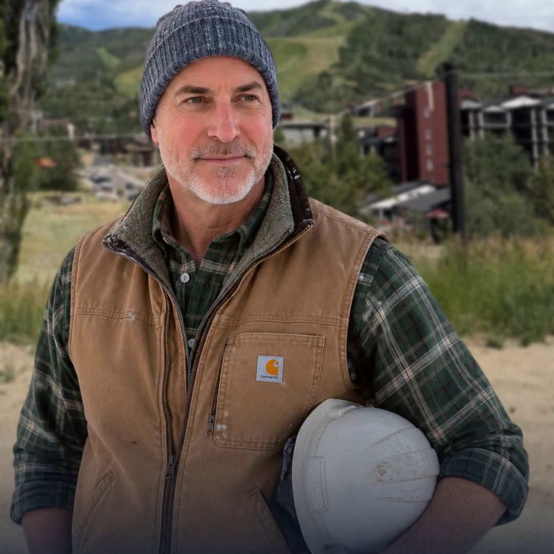
Daniel Kaufman writes danskiandbuild.com. Questions or resort intel to share, reach me at Daniel@kaufmanredev.com.